


Sekigahara's Historical Tama Castle Ruins
Reconfigured for Sekigahara? A Professor's Recent Theories Debunked.

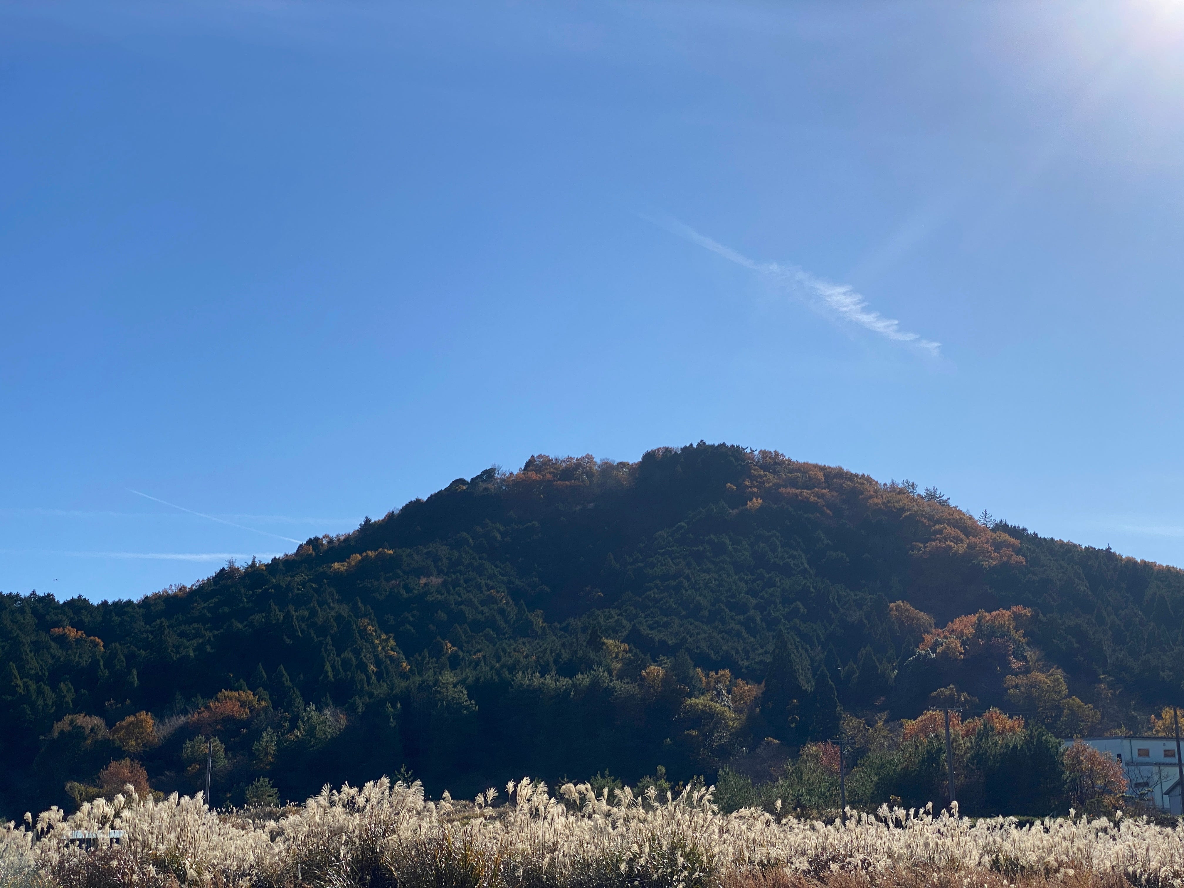
To the west of Sekigahara in Gifu Prefecture, is a mountain with the mundane name of Joyama (城山), literally “Castle Mountain”. There are thousands of mountains across Japan with the same name, but this particular Joyama once supported an ancient castle at the summit known as Tama-jo, or Tama Castle (玉城).
Tama Castle was originally built as a fortress during the early years of the Nanboku-Cho, or Northern and Southern Courts period (1336-1392). It is believed that Satake Yoshiharu, a descendant of the Seiwa Minamoto clan, first built a fortress here when he was being pursued by Ashikaga Takauji (1305 –1358) . It is not known when or why the castle was abandoned by the Satake, but it is believed that the Oda clan, and local lords of the area, the Takenaka clan later used it as a castle to monitor and defend the border between Omi and Mino during the Sengoku, Warring States period.
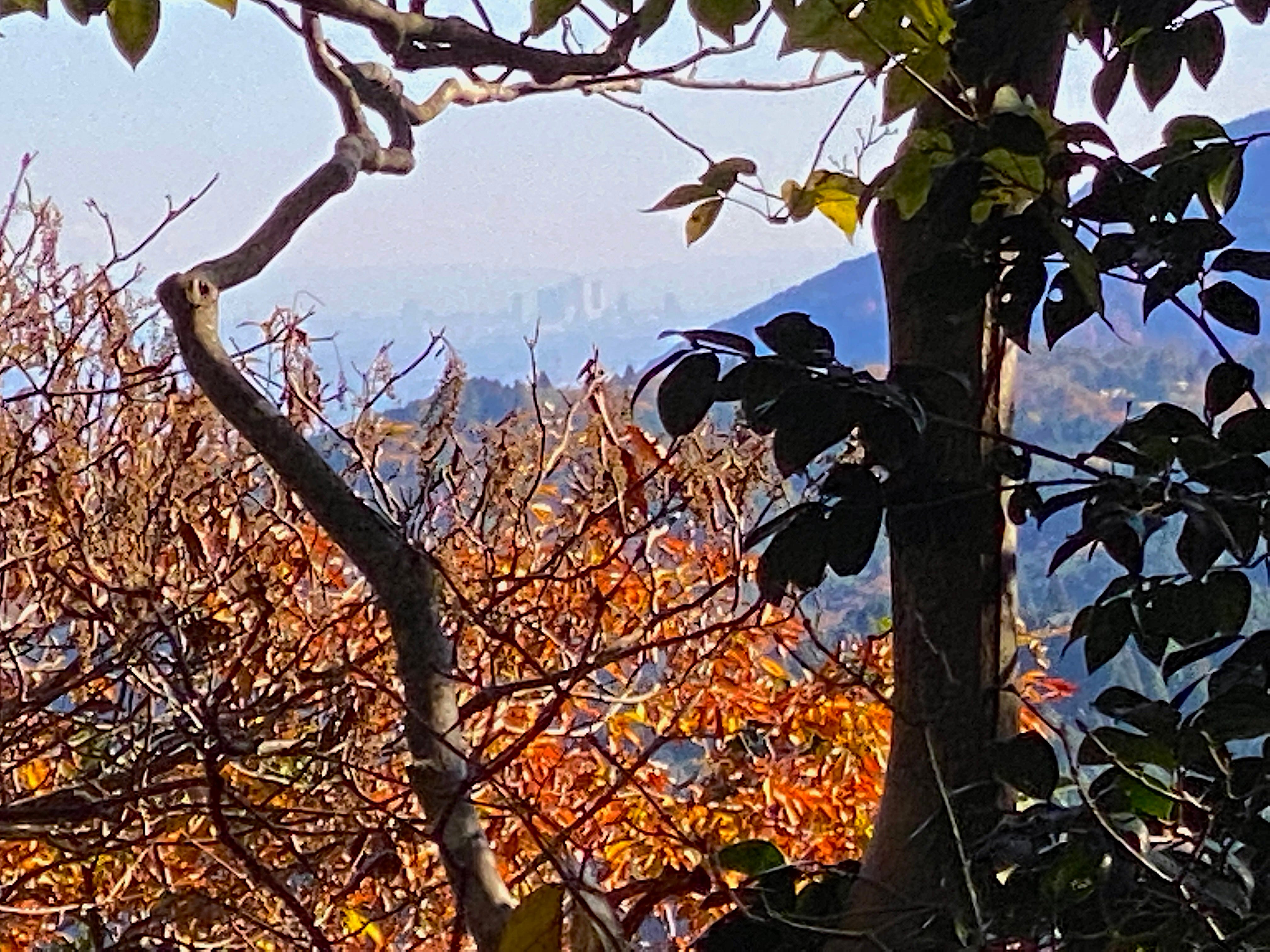
Located at a strategic point overlooking the Nakasendo Highway to its south, and the Hokkoku-Kaido route to its north, Tama Castle provided clear views of Omi Province and Lake Biwa to the west, Mino Province, and what is now Gifu Castle to the east. On a clear winter’s day, one can even see the skyscrapers of Nagoya City some 45km away across the Great Nobi Plain and the Owari districts, territories of the Oda clan to the southeast.
Secret Gunpowder Cache
It’s a 175-meter climb to the top, taking you to an altitude of 307.5 meters. A walking trail and steps has made visiting the Tama Castle site easier. Along the route are many tall, thin concrete posts. These posts, some which still carry the rusted remnants of barbed wire, formed part of the security around the Great Sekigahara Gunpowder Depository! The secret military area was 6 km in circumference, covering a 270-hectare area, and contained 320 tonnes of gunpowder to be distributed to military installations across the country between 1915 and the end of 1945. It was the largest in Asia, with 28 above-ground clear powder magazines, 1 dry powder magazine, 15 semi-cave powder magazines and 5 cave powder magazines. It is said that if the gunpowder reserves had been attacked or ignited, there would be nothing left of the Sekigahara region, but a huge gaping crater!


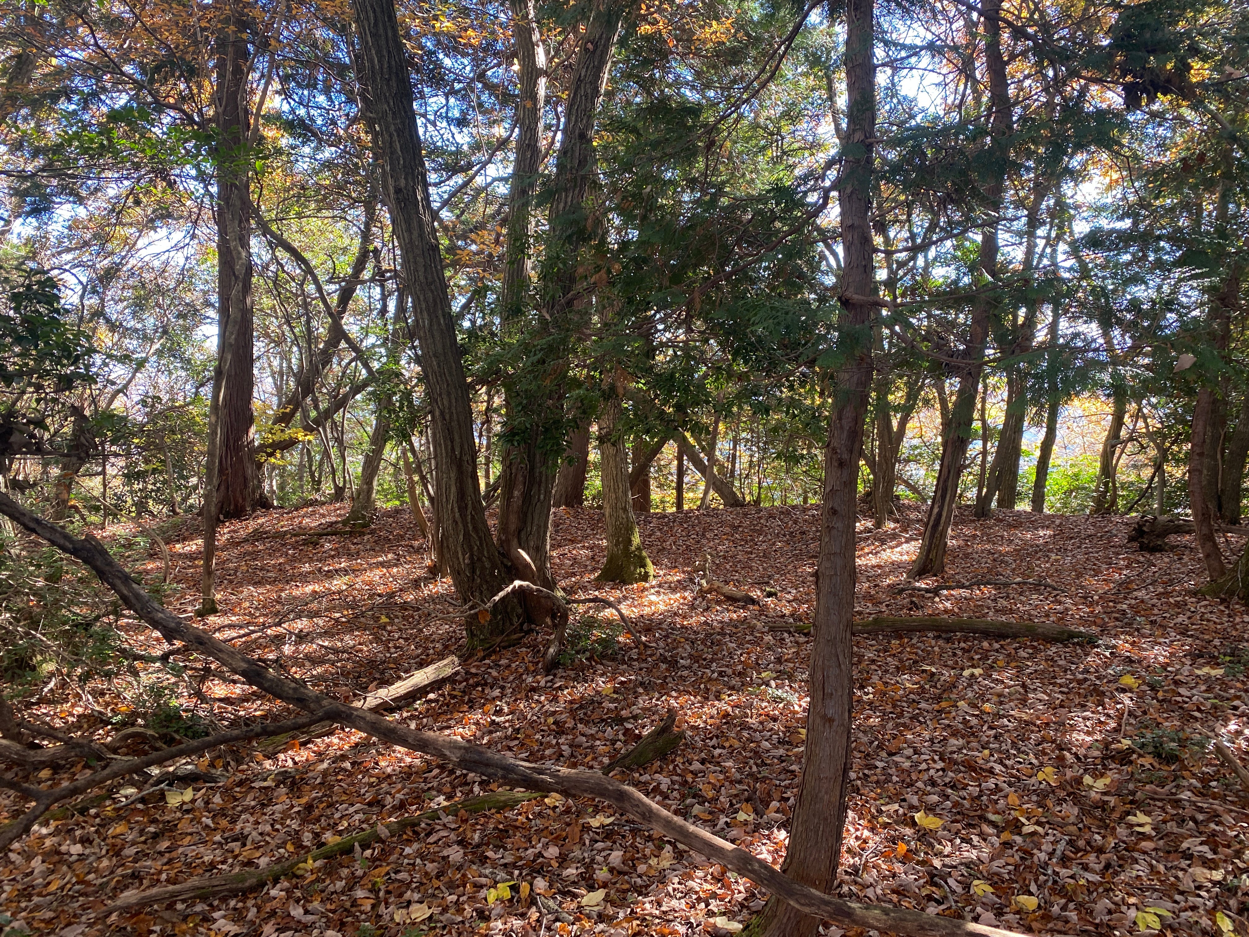
Mysterious Mountain
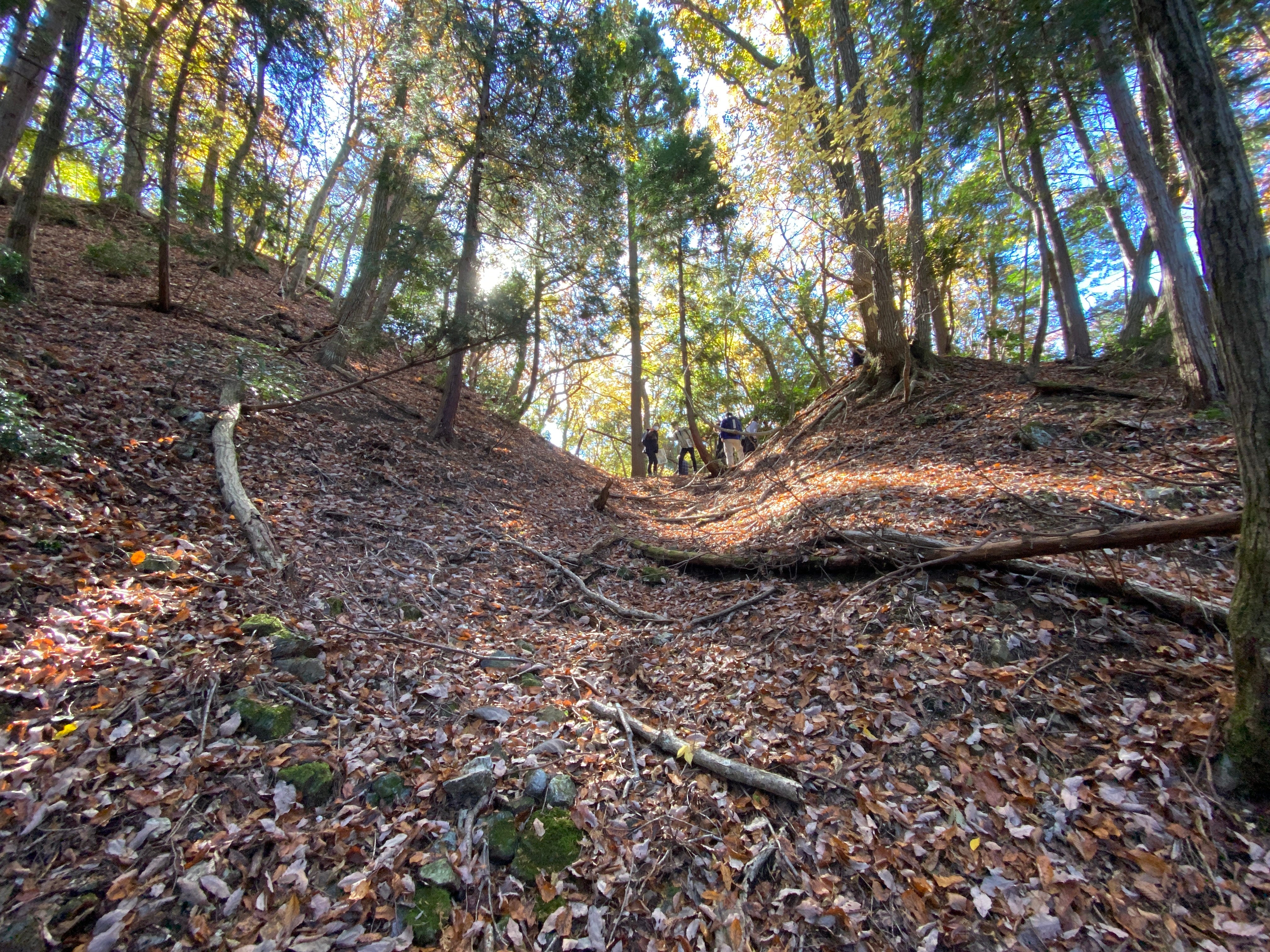
Tama Castle still maintains an air of mystery. Exactly where the actual main gates and rear gates once stood are still unknown. The main enclosure at the top of the mountain is around 150m long, 50m wide at its northern end, narrowing to around 20m towards the center, and increasing top nearly 50m again at the south western end. The remains of low dorui, earthern mounds, can be found around the outer edges in places. What is believed to be the Honmaru section at the northern end is around 10m square and slightly raised about 40cm or so, although it is possible that this may have been higher over 400 years ago. A small shelter for hikers has been built there. A great deal of effort has been put into shaving the top of the mountain flat to increase castle ground space. Something that even in the Sengoku, Warring States period would have taken as long as 1-2 months to complete, entirely by hand.
Defensive Features
Both the eastern and western faces of the mountain are naturally steep, however obi-kuruwa, long, narrow belt like enclosures, have been made along the western and northern faces. These obi-kuruwa are the result of cutting into the mountainside to increase the angles of climb and prevent attackers from advancing into the inner baileys.
There are four places within the Ni-no-maru grounds where large holes had been dug. My speculation is that these were either wells, or at the very least, mizu-tamari, water catchment ponds, as there are no rivers in the near vicinity for water supply.
The mountain sides are protected by 16 sets of tatebori, V-shaped trenches cut vertically into the mountainside, preventing the lateral movement of attackers, and confining them to certain areas that can then be more easily covered by the defenders. Eleven of these tatebori face towards the west and south. The remainders are to the north and east.


To the far west is an extremely impressive 0-hori-kiri, a huge, wide and deep trench, almost big enough to call a dry moat, to prevent enemy advances. Interestingly, there are two narrow earthen bridges spanning the 0-hori-kiri about 12 meters apart. It creates what appears to be a shoji-bori, often termed a Waffle Moat, as it looks like the ridges and indents on a waffle. Such bridges would have encouraged the enemy to cross at these points, but would have caused a bottle neck, slowing the advance, and concentrating the enemy into two confined spaces, making them easier targets for arrow and matchlock gun fire.
More details of Tama Castle could be discovered if an archeological survey could be conducted and maintenance carried out, however, as the castle land and mountain is now owned privately by some 20 individuals, getting permission is a difficult undertaking.
Debunking Theories
Tama Castle recently made national headlines when a certain professor made claim of a new discovery on national television. He claimed to have rediscovered Tama Castle, and made the claim that the castle had been re-constructed as a base for use by either Toyotomi Hideyori or The Western forces nominal leader, Mouri Terumoto at the time of the Battle of Sekigahara in 1600.
Firstly, Tama Castle is NOT a new discovery. Sekigahara township released papers regarding the castle and even nawabari-zu, layout plans in 2002. As local school children came to use the mountain for orienteering activities, a proper path was also installed, along with the small shelter at the top.
I don’t agree with his thoughts on the castle having been re-organized by the Western forces for use in the Battle of Sekigahara either. Why? The castle is configured to deter attack from the west, not the east as would be in the case for Sekigahara. Tama Castle straddled the border between Omi (Shiga) and Mino (Gifu) Provinces, and looking at the defensive configuration, suggests it was constructed to expect an attack from Omi Province, directly to the west. That being the case, it was most probably used and re-designed by Oda Nobunaga’s forces as a border watch castle against the Azai and Asakura, circa 1570-1573 when Nobunaga’s brother-in-law, Azai Nagamasa and the Azai’s allies, the Asakura clan turned against the Oda clan.
Another reason I don’t believe it was configured for the Battle of Sekigahara is that Sekigahara wasn’t chosen as the actual battle site until the evening before the battle, less than 12 hours before it began. Western forces leader Ishida Mitsunari had passed through the narrow gap in the mountains separating east and west Japan, the area known as Sekigahara, and had advanced 14km eastwards into Eastern held territory. He had taken Ogaki Castle and planned on advancing via Kiyosu Castle and others further into Eastern lands, but found he could no longer advance.
While considering his next actions, the Eastern forces had discovered his incursion, and quickly and quietly positioned themselves to the west of Ogaki Castle, effectively blocking Mitsunari’s retreat path. Unable to advance or retreat, Ishida Mitsunari and the Western forces were trapped in Ogaki Castle.
It was expected that the upcoming battle would be a siege of Ogaki Castle where the Western forces were ensconced, or, if it became a field battle, then fought on the northern parts of the Nobi Plains, below Mt. Nangu, to the far east of Sekigahara.
When Tokugawa Ieyasu arrived outside of Ogaki on October 20, 1600, he quickly assessed the situation, and openly announced his plan – to about face, and head back along the Nakasendo highway route, through the Sekigahara pass, and first onto Ishida Mitsunari’s fief of Sawayama, and having attacked and destroyed that, would head towards Osaka and attack Toyotomi Hideyori. As expected, spies quickly relayed this information to Ishida Mitsunari. In a near blind panic, Mitsunari decided to move his troops to a position where he could prevent the Eastern forces from getting through Sekigahara. That night, under cover of darkness and cold, pouring rains, the Western forces marched the 14km to Sekigahara, with the Eastern forces close on their heels. Overnight, formations were decided, and the various armies then scrambled to effect their command posts and positions. (For more details on this, and the Battle of Sekigahara, read my book The Battle of Sekigahara, published 2021 by Frontline books; https://www.pen-and-sword.co.uk/The-Battle-ofSekigahara-Hardback/p/19269)
Therefore there would not have been enough time to prepare the Tama Castle site for Western use. The current earthworks and defences we see at Tama would have been made well before Sekigahara, and not just prior to it as has been claimed. Also, Ishida Mitsunari had considered Matsuoyama Castle, the site used by Kobayakawa Hideaki, as his preferred potential command post for either Mouri Terumoto or Toyotomi Hideyori should either of them make an effort to join the action. As the battle was expected to take place around Ogaki, Matsuoyama was considered safe and well behind the front lines.


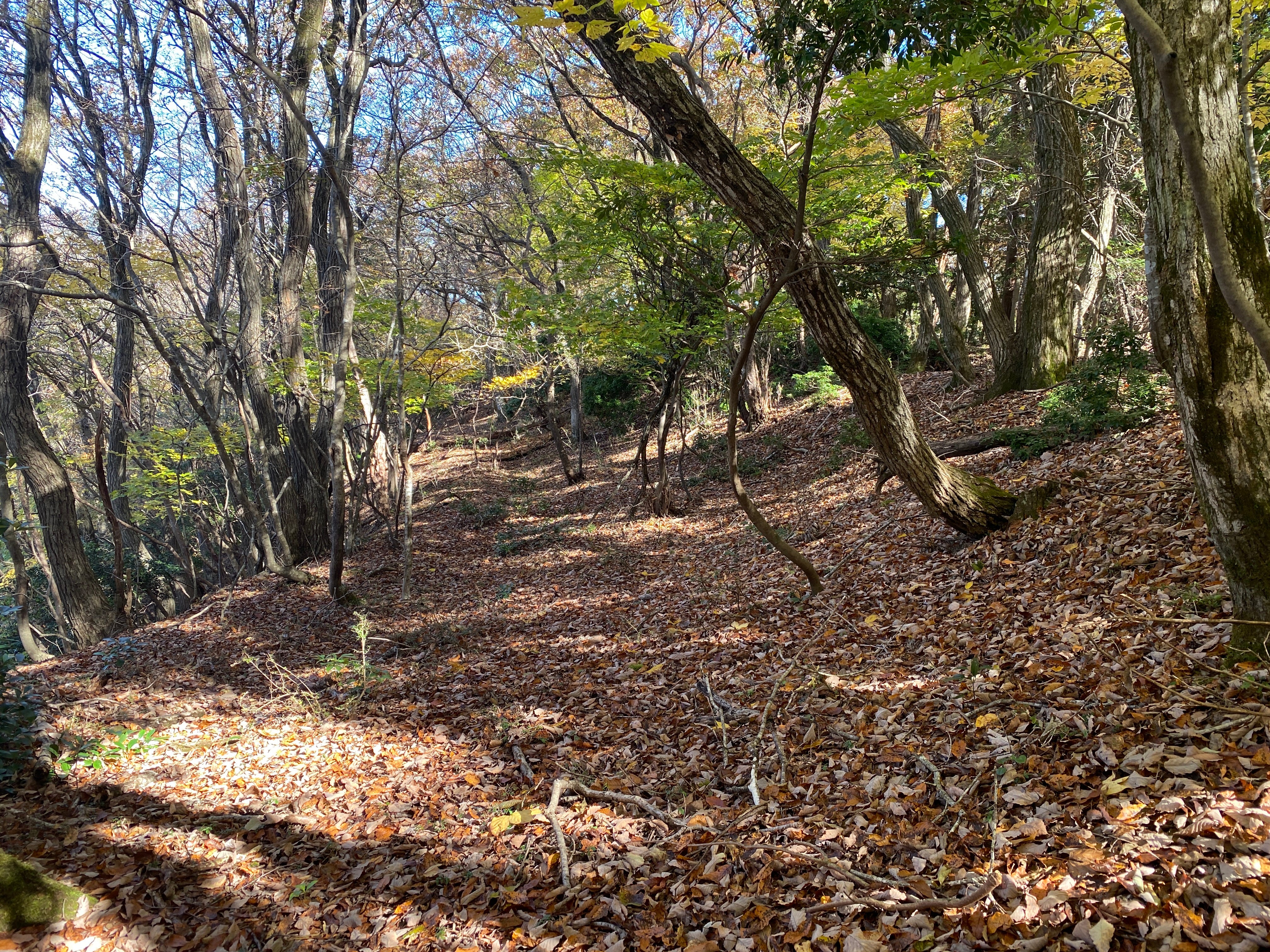
The Tama Castle site is an excellent example of a Warring States configured border castle, and a relatively unknown and difficult to access site. Parking is permitted in the unpaved area west of the nearby Ecomuseum Sekigahara facility. However, please make sure to report to the reception desk.Take the road between the museum and 'Goma no Sato' to the Tokai Nature Trail and follow the Shiroyama Walkway - Shiroyama Summit signs. The path is easy to walk, but the second half is steep. For safety reasons it is recommended to visit under the guidance of the Sekigahara Historic Site Guides.
I think I saw a documentary? on this on TV Japan, titled “History Detective